Elevation

Display elevation as RGB color.
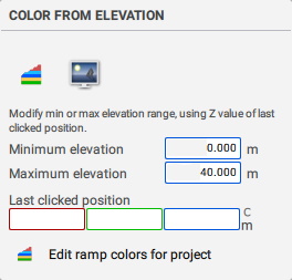
Color From Elevation
|
A Random Color shader is often used to identify overlapping data when working with multiple scans. Grey scale intensity color can benefit from color processing that redistributes the gray scale values for the full [0-255] range providing greater color contrast. Elevation maps indicate variation in Z values. The color map is applied to color channel 2 so that RGB color is maintained. |
|
Created with the Personal Edition of HelpNDoc: Free PDF documentation generator